
Stereo photography
In order to be able to produce cartographic products, stereo imagery can be required. At Slagboom en Peeters stereo photos have a minimum overlap of 30% (sideways) and 60% (forward). The stereophotos are normally delivered as a set of images, a camera calibration report and the external orienation (e.o.) data. The e.o. data are produced from the aerotriangulation proces, based on ground control points and GPS-INS data. The stereo photos of Slagboom en Peeters generously meet the required demands for cartography.
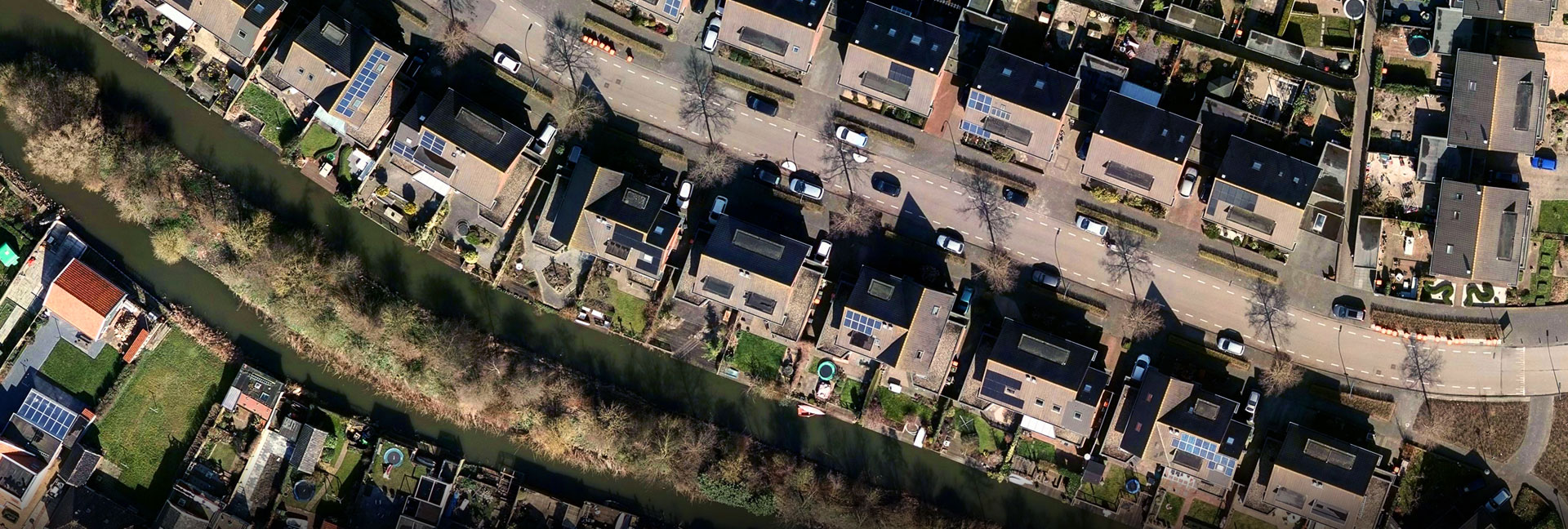
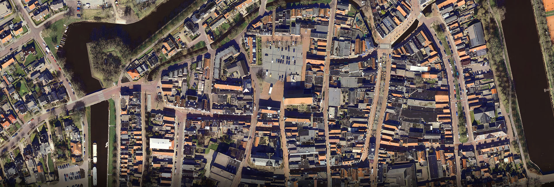
Ortho(mosaic) images
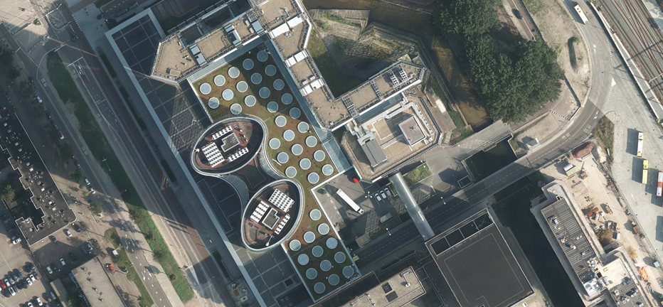
ABy nature the vertical photo has certain deviations, caused by height differences in the terrain, lens deviation and the exact position of the camera in the air.A digital ortho photo has these deviations corrected for, being a photographic map in digital form.
The quality of a digital ortho photo can be divided in 2 parts: image qulaity and geometrical quality. The most important variables are scale, pixel-resolution, overlap, ground control points, height model and the aerotriangulation proces. The equipment and software used to obtain this quality is of great influence.
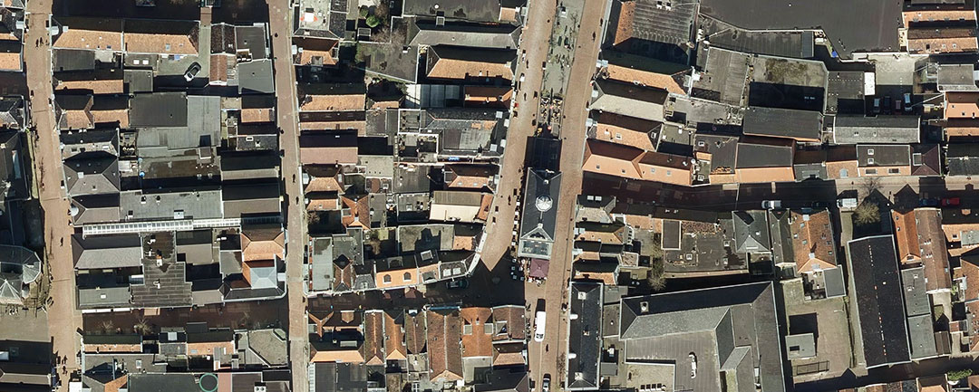
 3,5 cm
 10 cm
10 cm
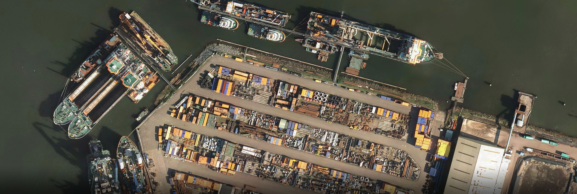
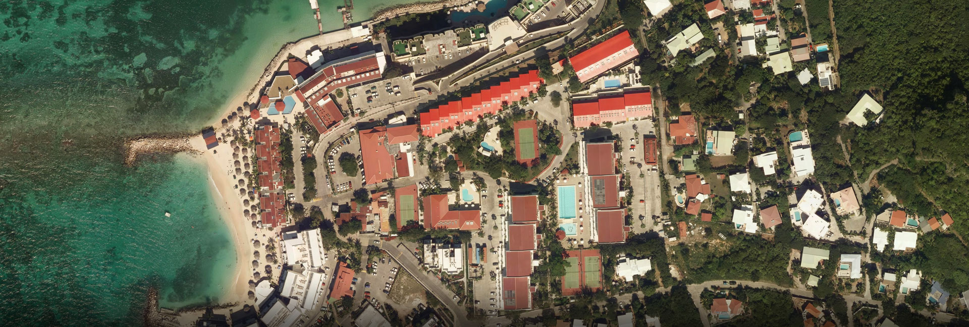
Applications for the use of stereo and ortho photography
Research into
- Soil condition
- Vegetation
- Rain water drainage
Spatial planning:
- Builing and construction
- Clandestine objects
- Parking optimalisation
- Ground property transactions
- Infrastructure
Planning:
- City development
- Traffic infrastructure
- Railway planning
- Presentations
- Exhibitions
- Information meetings
True Ortho (DSM Ortho)
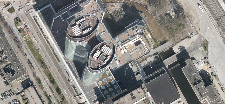 Ortho 5 cm
 True Ortho 5 cm
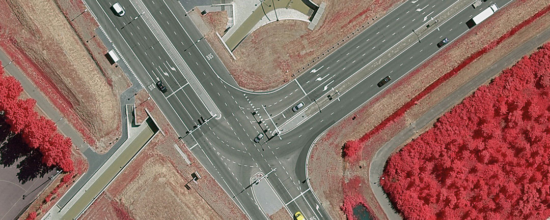
Infrared
The Vexcel camera that Slagboom en Peeters use are able to produce Colour Infra Red or False Colour imagery. This data can be used for various goals, e.g. analysis or tracing of vegetation. Applied with the right software the options for use can be very valuable.
Applications of infrared
- Management of green spaces
- Vegetation mapping
- River bank mapping
ECW
This format (Enhanced Compression Wavelet) is a format in which the orthophotomosaic images are stitched together, so that a large area can be viewed in 1 photo, usable in many GIS- and CAD applications. The ECW is easy to use by multiple users and allows rapid processing of the data.
Contact
Do you have a question for us or would you like to receive a quotation for a product? Please contact +31 (0) 55 323 1868 or fill in the contact form

